
I meant to post this earlier this week. It's a satellite photo of the Mainland, a long, long way from the Big Island, showing the snowy front that passed over much of the Eastern Seaboard last weekend. The large, jagged water form below the broken land mass looks like Chesapeake Bay, with the Delaware River above it and to the right.
Washington D.C. would be at the end of the brown hooky-looking line at the end of the Potomac River, branching off the left side of the Chesapeake.
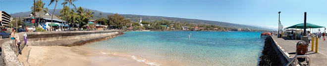
"Lucky you live Hawaii!" Me too.

No comments:
Post a Comment